🎯 Interactive 3D Model Available!
Rotate, zoom, and explore this model in 3D before downloading

Description
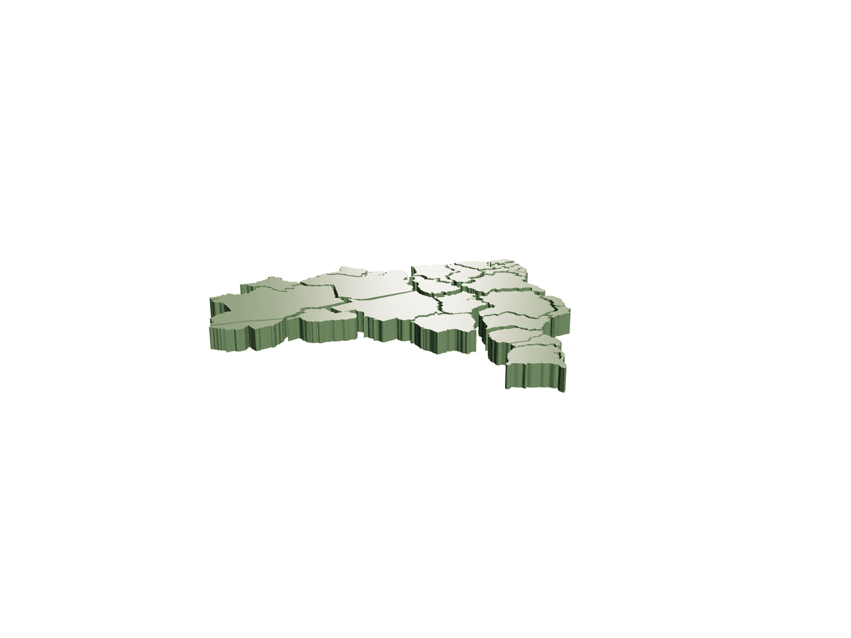
The whole world, sliced into snap-together landmasses. This is a low-relief 3D world map rendered as a set of interlocking continent tiles rather than a single slab. In the render you can pick out the jagged coastlines of Europe, the sprawl of Russia, the tapering finger of Central America and the rounded cap of Antarctica, each raised on a shallow edge so the pieces read as distinct plates that fit against one another like a geographic jigsaw. The file bundle backs this up: separate STLs for Europe (split into two halves), Russia, Central America, Antarctica, the UK and Ireland, Sardinia and the Cuba/Jamaica/Dominican cluster, so smaller islands and awkward peninsulas print cleanly on their own. It suits classroom walls, a kids' bedroom, a study or a maker's shelf — assemble it flat as a tabletop map, mount the tiles on a backing board, or print each continent in a contrasting filament for a bold multi-colour wall piece. Because it arrives pre-segmented, you can scale the whole world up beyond a single bed by printing region by region. Print notes: • Flat-side-down needs no supports; the raised coast edges are self-supporting at this relief depth. • Print continents in different colours, or paint oceans onto a base plate for contrast. • Tiny islands (Sardinia, the Caribbean group) print best at 100% infill or with a brim to stop lifting. • Scale all parts by the same factor so borders still meet after resizing.
Sell your own 3D models and STL files. Keep 90%.
Free to list. Keep 90% of every sale — or lifetime 95% as a Founding Creator — with PayPal payouts whenever you want.
More Household 3D models
View all Household →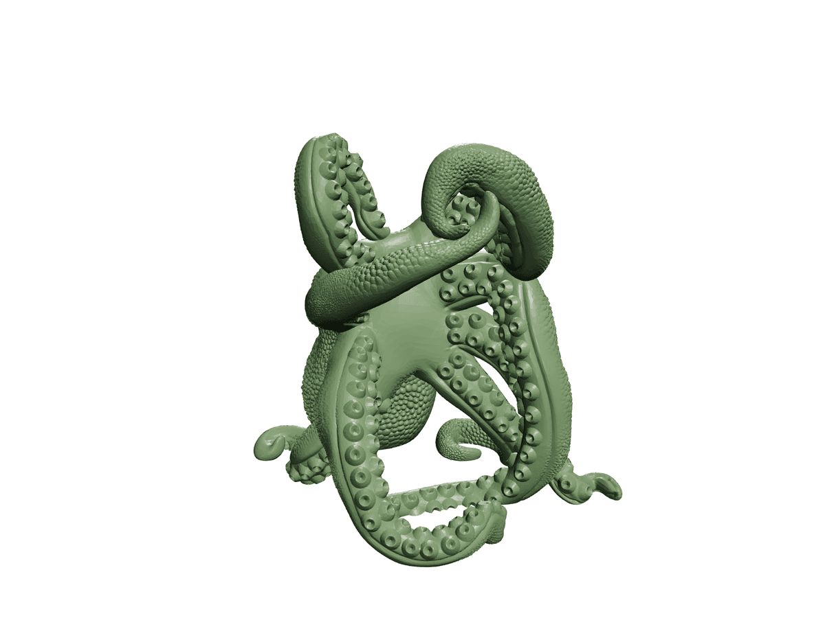
Bordeaux the Octopus Wine Bottle Holder STL
£1.50

Bald Eagle Wall Light Cb 7 Aa 0811 B
£3.99
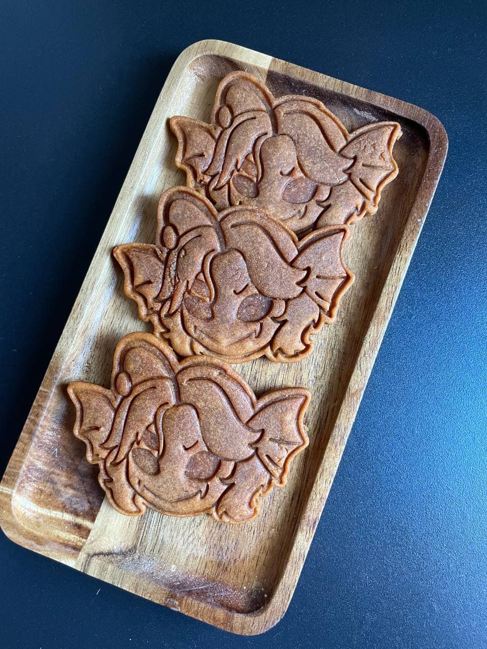
Sebastian Solace Cookie Cutter (Pressure)
£1.00
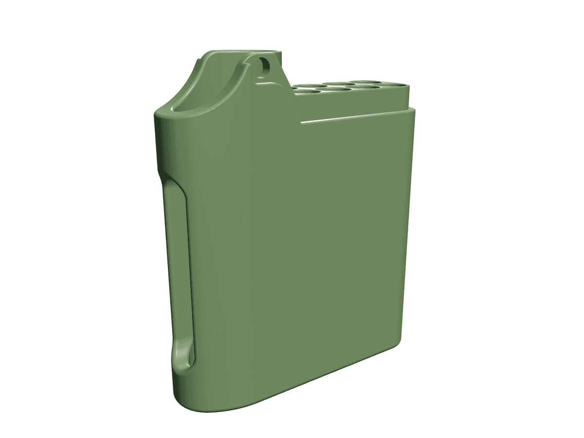
Cigarette and Lighter Holder
£2.75
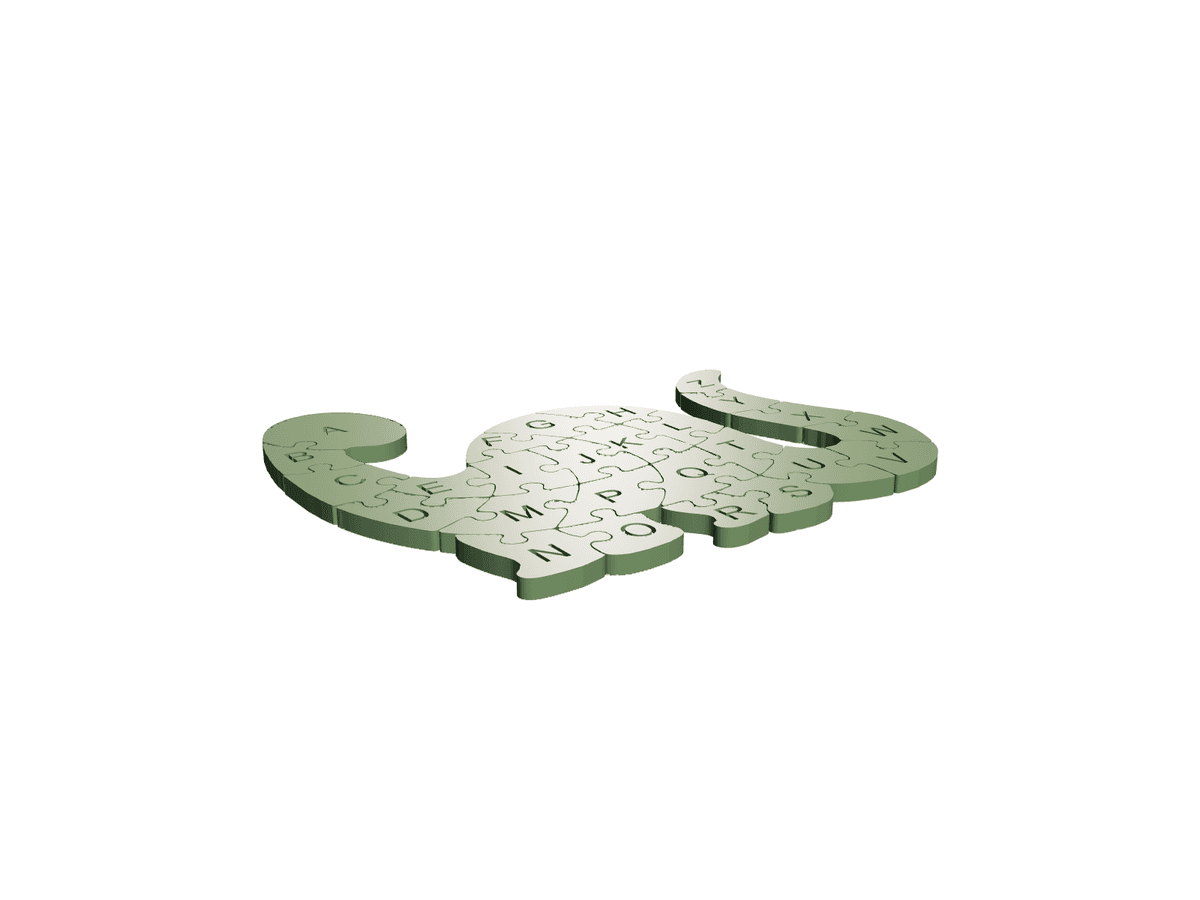
Dinoabecedario
£2.99
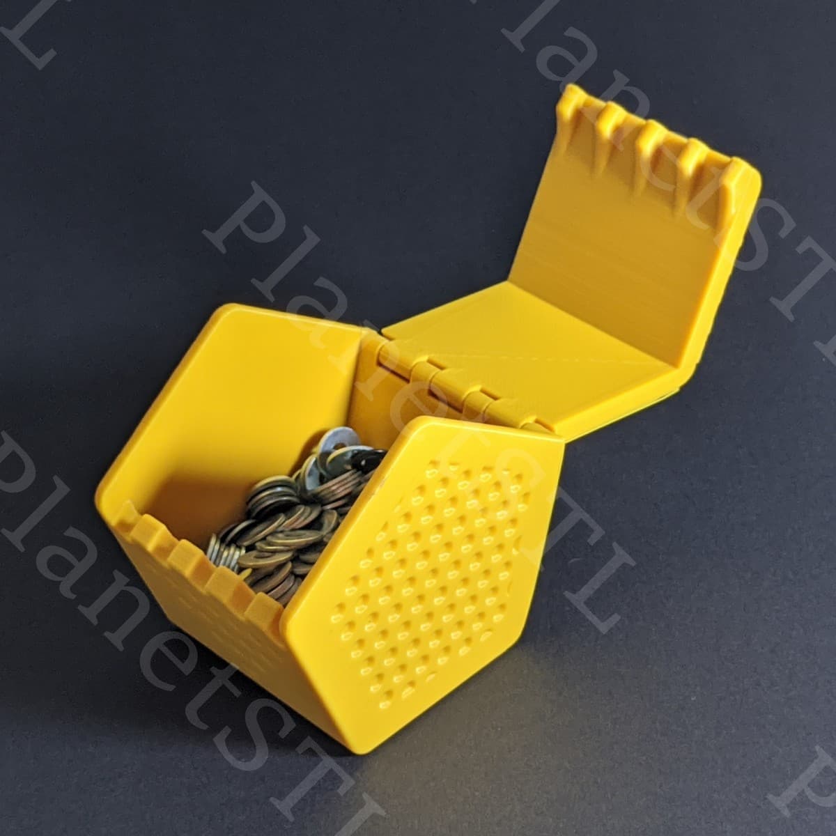
Clockspring 3 D 886 Pentaprism Box Planetstl
£1.99
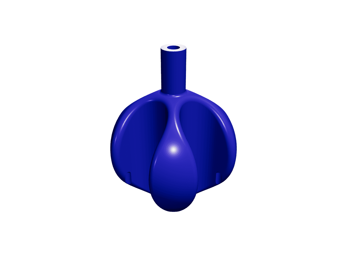
Centrifuge Organiser
£3.50
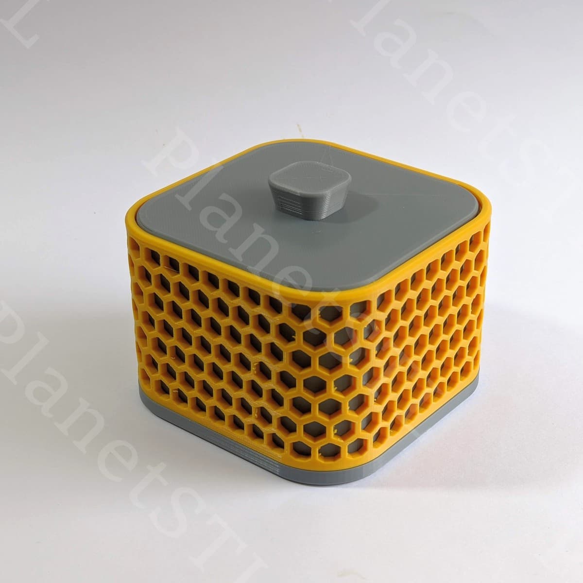
Clockspring3D 897 Resolute Box PlanetSTL
£2.99
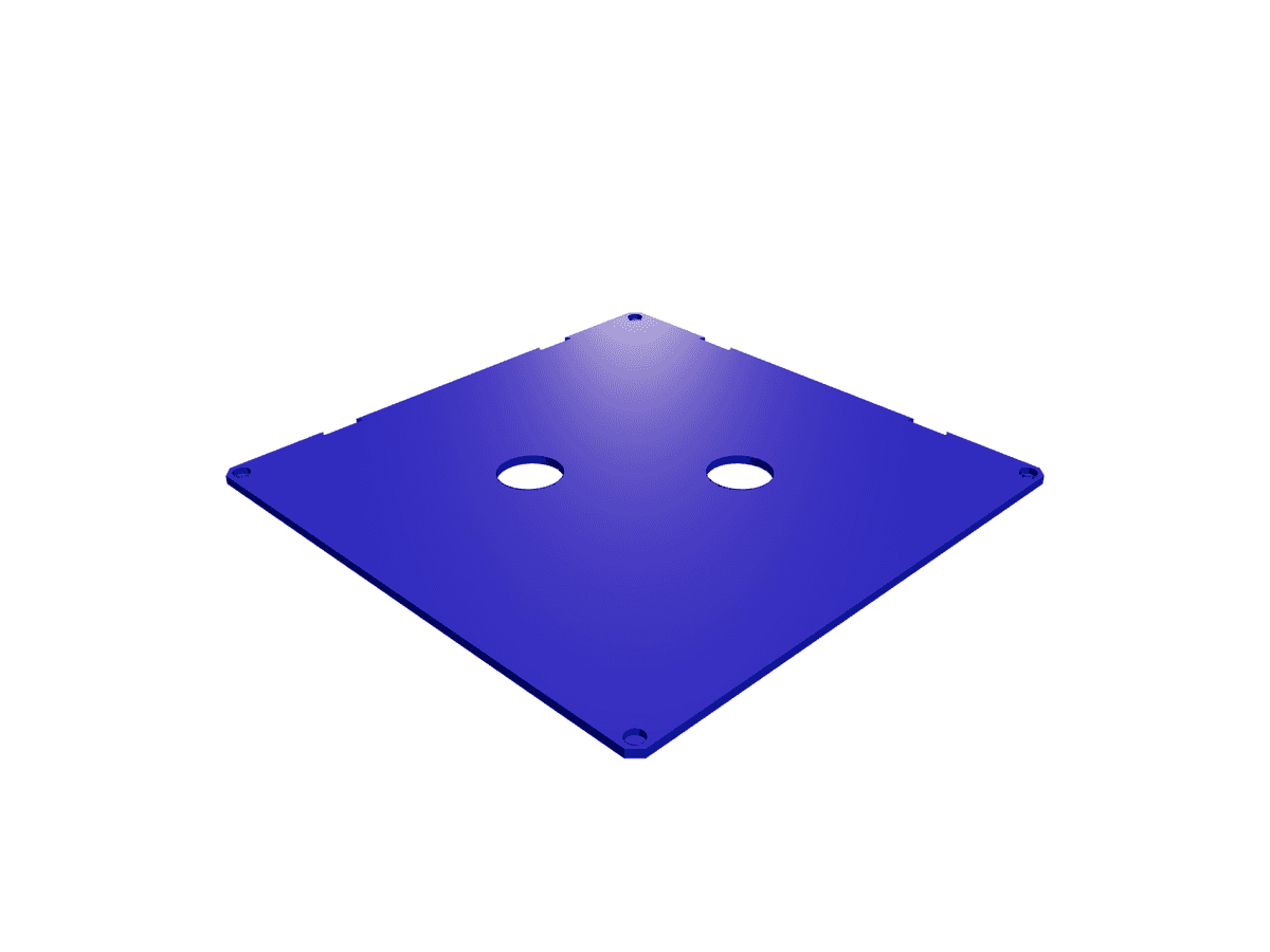
Cover Paint Cube Organiser
£3.99
New Files
£2.99
Labeled Drawers Divider
£4.25

Shin cookie cutter (nana)
£1.00