🎯 Interactive 3D Model Available!
Rotate, zoom, and explore this model in 3D before downloading
Description
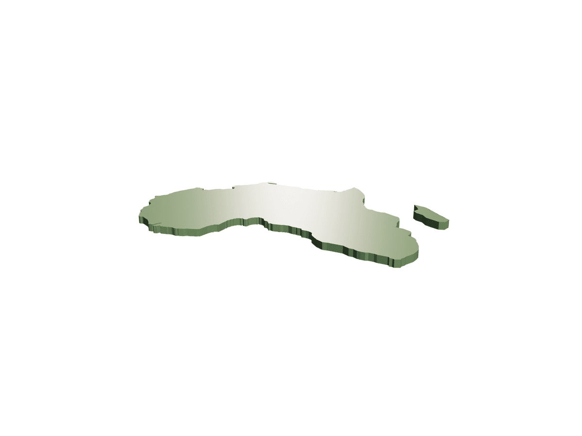
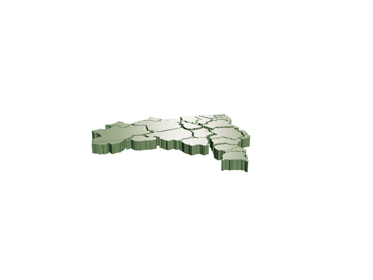
The whole of Africa, lifted off the map. This print is a raised relief of the African continent — its ragged Atlantic coast, the sweep of the Gulf of Guinea, the Horn jutting east and the island of Madagascar sitting just offshore, all extruded into a solid slab with clean vertical edges. It is one piece from a continent-by-continent world set, and the accompanying files cover Asia, Oceania and the Australia puzzle, a partitioned Russia, Antarctica in two versions, and a combined Greenland–Iceland–Svalbard tile — enough to assemble an entire globe's worth of land. Flat-backed and self-supporting, each continent works as a fridge magnet, a teaching aid, a pin-board marker for a travel wall, or a tactile geography tool. Printed together at a shared scale they lock into a coherent world map you can lay out on a table or mount on a wall. Print notes: • Print flat-side down straight onto the bed; the relief faces up and needs no supports. • Keep every continent at the same scale factor so borders and proportions line up when combined. • A brim helps thin coastal spurs (the Cape, the Horn, peninsulas) adhere without curling. • Multi-colour or a painted pass really sells it — land in one tone, engraved borders or labels picked out in another. Educational, decorative and satisfyingly modular, it turns filament into a map you can hold, arrange and build up region by region.
Sell your own 3D models and STL files. Keep 90%.
Free to list. Keep 90% of every sale — or lifetime 95% as a Founding Creator — with PayPal payouts whenever you want.
More Household 3D models
View all Household →
Bald Eagle Wall Light Cb 7 Aa 0811 B
£3.99
Bordeaux the Octopus Wine Bottle Holder STL
£1.50
Sebastian Solace Cookie Cutter (Pressure)
£1.00
Cigarette and Lighter Holder
£2.75
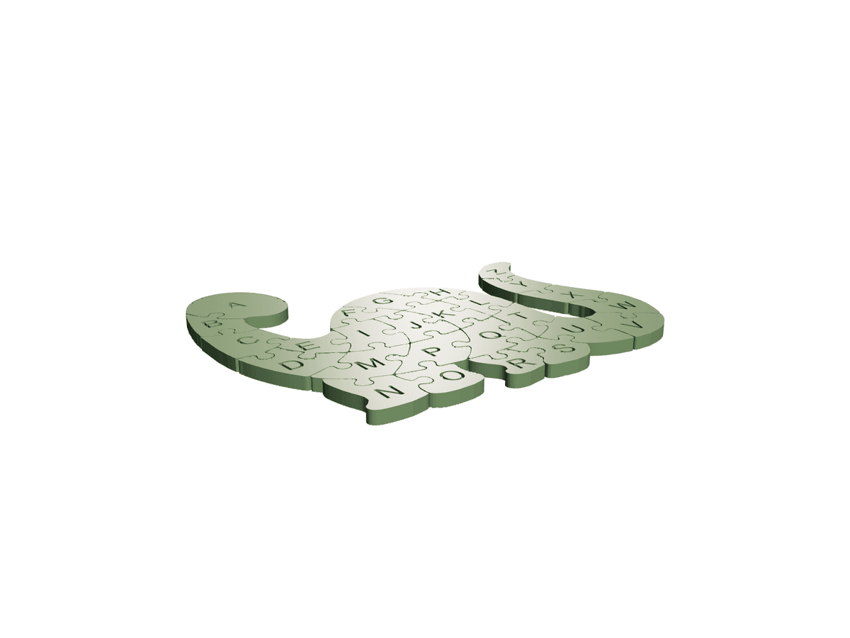
Dinoabecedario
£2.99
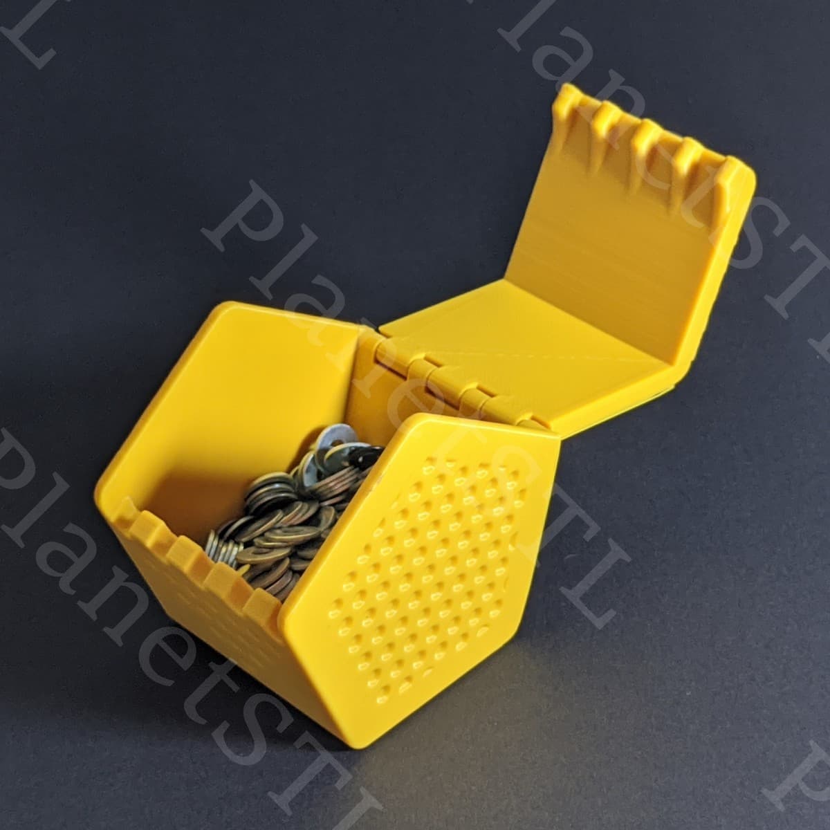
Clockspring 3 D 886 Pentaprism Box Planetstl
£1.99
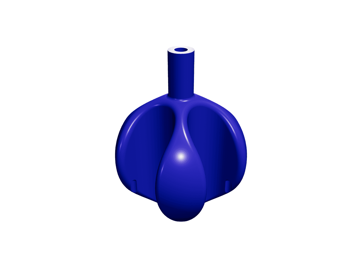
Centrifuge Organiser
£3.50
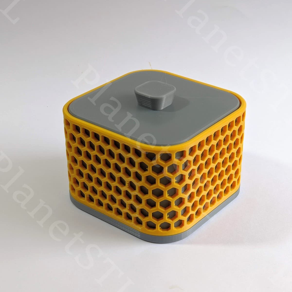
Clockspring3D 897 Resolute Box PlanetSTL
£2.99
Cover Paint Cube Organiser
£3.99
New Files
£2.99
Labeled Drawers Divider
£4.25
Shin cookie cutter (nana)
£1.00